We are committed to continually improving the wellbeing of all people living and working in South Australia. Our mission is making a difference so South Australia thrives, through fairness, opportunity and choice for all South Australians.
Below are our wide range of services and resources designed to aid individuals, families, communities and non-government organisations (NGO) within South Australia.
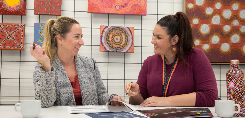
Aboriginal Peoples
We work in partnership with Aboriginal communities on a wide range of programs and services to support Aboriginal families and young people.
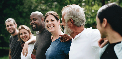
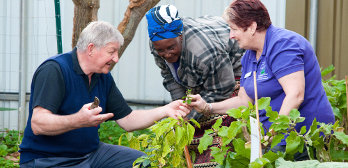
Ageing well
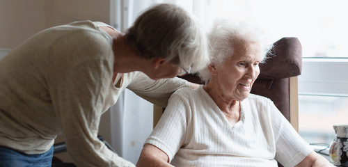
Ageing well in SA means staying active, connected, and supported. The Office for Ageing Well offers programs and services to help you on your journey.

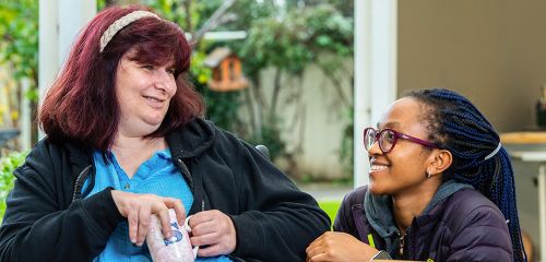
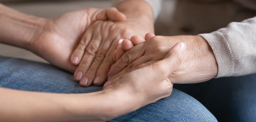
Carers
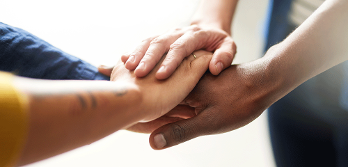
Carers provide unpaid ongoing support to family or friends with disability, age-related frailty or chronic illness.
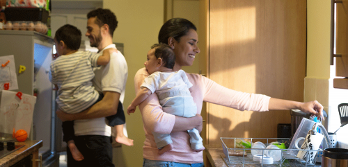
Child and family support
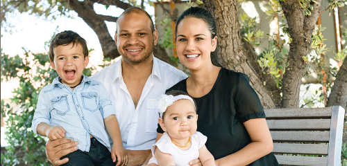
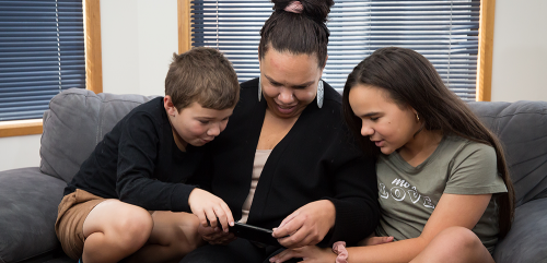
We help South Australian families by empowering them with knowledge, skills and professional support to help ensure their children are safe and well at home.
Community Programs
Supporting people to enhance their wellbeing by strengthening connections with communities, social networks, and services.
Cost of Living
South Australians on low or fixed incomes can get help with household and other expenses.
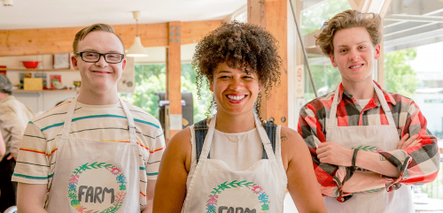
Disability and specialist supports
Helping people with disability, their families and carers access services, information and assistance that support independence, safety and wellbeing.
Domestic, family and sexual violence prevention
The Office for the Prevention of Domestic, Family and Sexual Violence was established to support the Royal Commission into Domestic, Family and Sexual Violence.
Gambling Harm
Gambling can be harmful in ways that disrupt your life, your loved ones and those close to you. There is support available.

Grants
Funding to improve community participation, wellbeing and quality of life for South Australians.
Homelessness
Homelessness can affect anyone. We are committed to getting the best outcomes for people living without a home or at risk of becoming homeless.

Interpreting and Translating Centre
Access qualified translators and interpreters experienced in most of the community and commercial languages of South Australia.

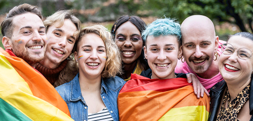
LGBTIQA+
DHS supports Lesbian, Gay, Bisexual, Transgender, Intersex, Queer, Asexual and other sexually, gender and bodily diverse (LGBTIQA+) South Australians.
NGO and Sector Support
Support for non-government organisations (NGOs) of all sizes, types, and sectors that work to improve the wellbeing of people in South Australia.
Screening Checks
Screening checks contribute to creating safe environments for children and other vulnerable people.
Volunteering
Volunteering is a vital part of the our way of life — generating great community spirit and helping to make our neighbourhoods welcoming, safe and inclusive.
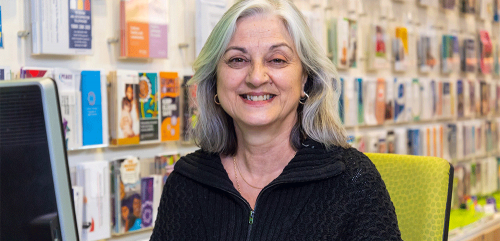
Women's Services
The Office for Women works toward achieving positive change for women by collaborating with women’s groups, community organisations and the private sector.
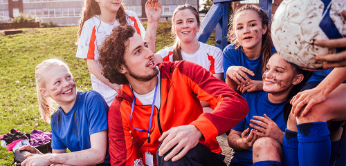
Youth
Ensuring young South Australians can access opportunities to contribute to our state’s social and economic prosperity.

Youth Justice
DHS supports young people in the youth justice system to make positive choices in order to reduce reoffending and reconnect with family, community, and culture.